Da non perdere...
-
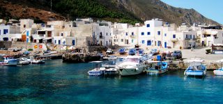
Favignana - Isole Egadi
Scopri la più grande isola dell'arcipelago delle Egadi: tutto sull'Favignana. Cosa vedere, cosa fare, il mare e le spiagge da non perdere!
Scopri adesso > -

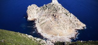
ItalyRoute - Alla scoperta delle meraviglie d'Italia
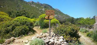
Anche l'isola di Marettimo fa parte del circuito ItalyRoute: Idee di viaggio e consigli sui luoghi più belli d'Italia!
Scopri adesso >
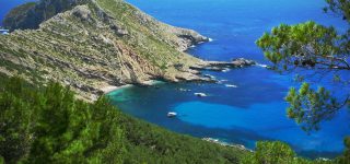
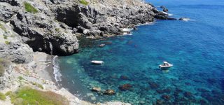
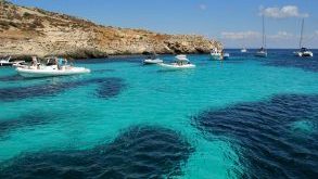
Un mare pulito e cristallino!
4 Vele Blu – Legambiente
![]()
Anche quest’anno Marettimo e tutto l’arcipelago delle Egadi sono tra località “premiate” con le quattro vele blu di Legambiente.
Il riconoscimento viene assegnato tramite una valutazione di oltre 170 indicatori.
I parametri considerati per l’assegnazione delle vele sono la qualità e la pulizia delle acque di balneazione, efficacia della raccolta differenziata dei rifiuti, la gestione ecosostenibile delle risorse, la presenza di aree pedonali, efficienza dei servizi, la valorizzazione del paesaggio e delle produzioni locali.
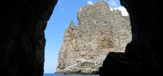
Un riconoscimento importante per Marettimo, che vede premiato anche quest’anno l’impegno per continuare a preservare e tutelare in maniera costante un territorio splendido come l’area marina protetta dell’Isola di Marettimo.